Main map#
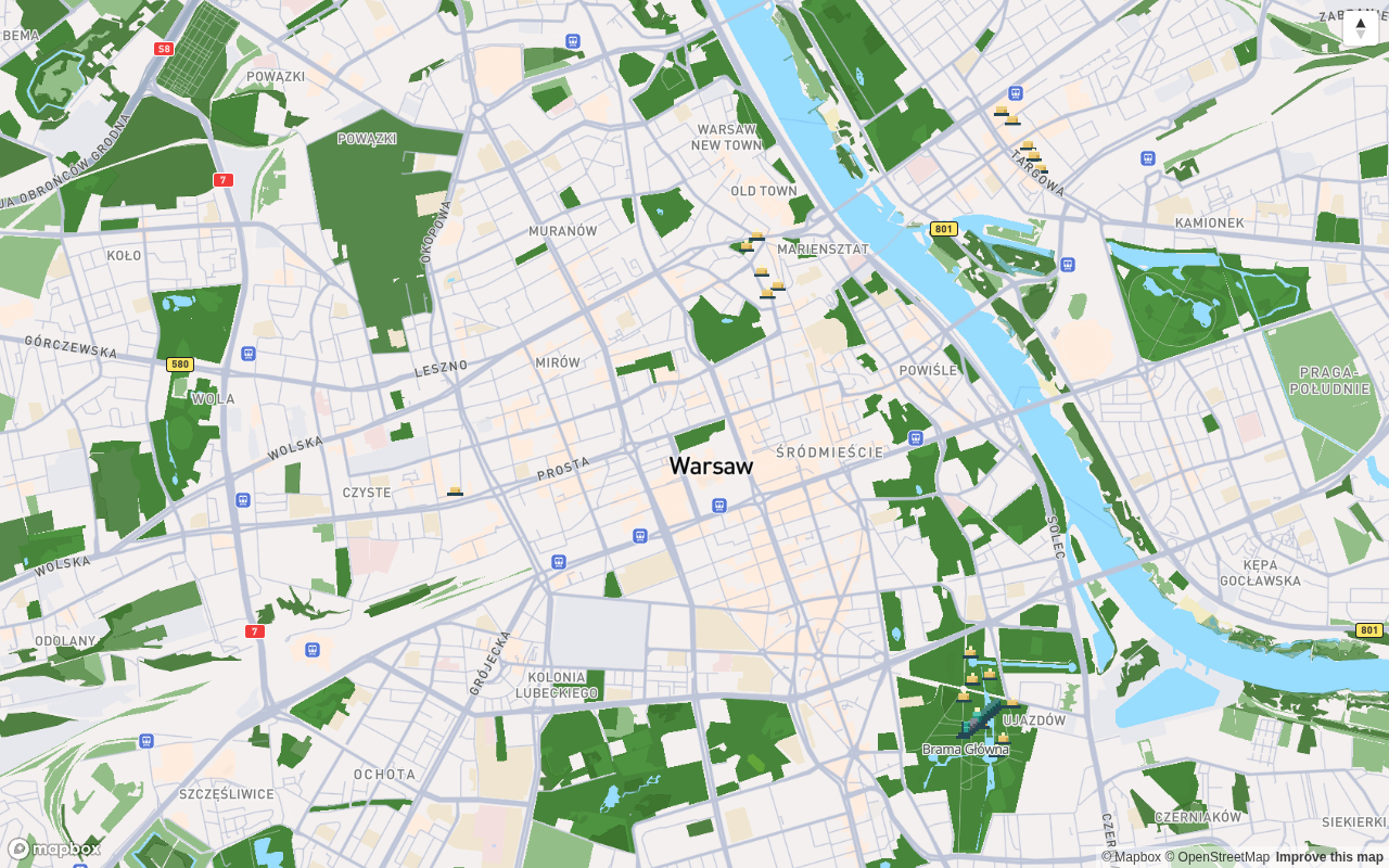
The map is the centre of the app: it shows your character, nearby routes, finds to collect and bots walking around the city. Everything you do in Fyndi starts here — with a tap on a marker.
What you see on the map#
- Your pawn — a 3D character seen from behind, in the middle of the view. It walks where you walk; the camera follows your phone's heading (compass). When you stand still, the character stands still.
- Finds — visible at all times, at every zoom level. Collected ones fade into a smaller, grey version (Finds).
- Routes — by default you only see the start marker. Tap a route and its path is drawn with the stops, the next stop highlighted (Walking a route).
- NPC bots — characters walking around the city; you will recognise them by the ring under their feet and their name (City bots).
- Other players — ordinary figures, visible only when both of you have visibility enabled in Settings. They have no ring — only bots wear a ring.
What exactly each shape and colour means gets its own page: Map legend.
Map gestures#
Hold your finger on the map to change the zoom: the top half of the screen zooms in, the bottom half zooms out. Zoom runs for as long as you hold your finger, and lifting it stops the zoom where it is.
| Gesture | What it does |
|---|---|
| Hold in the top half | Zooms in (about 1.6 zoom levels per second of holding) |
| Hold in the bottom half | Zooms out |
| Drag your finger | Pans the map — does not change the zoom |
| Tap a marker | Opens the card for a route, a stop, a find or a bot |
| Double tap | Disabled (does nothing) |
Tiles and buttons on the map#
| Element | Where it is | What it does |
|---|---|---|
| GPS pill | top-left corner | Appears only when something is off with your position (weak accuracy, no position, no permission); tapping it retries the fix or leads you to the fix (GPS) |
| Compass | top-left corner, under the pill | Turns the map to the north |
| My location tile | bottom-right corner | Returns to your position (the same crosshair sign as on the GPS pill) |
| Camera tile | bottom-right corner, above My location | Opens the "character's eyes" view and the AR view (AR view) |
| Route panel / find card | from the bottom of the screen | Details of whatever you tapped — drag the handle to expand |
What happens when you tap a marker#
- Route → route panel: description, stop list, distance, estimated time, and the Navigate and Start route buttons (Walking a route).
- Find → find card: description, Navigate, and once you are there — Collect find or Open AR (Finds).
- Bot → bot card: who it is, which route it walks and whether you can take a gift (City bots).
- A stop on a route → stop card with the completion method and a complete button (Route stops).
Travel mode and vehicle#
You choose the travel mode (On foot / By bike / By scooter) in the Character screen — one choice sets both the arrival time shown during navigation and the vehicle your figure rides on the map. On a bike and a scooter the wheels stay still when you stand still; after changing the mode every arrival time is counted from scratch (Navigation and walking routes).
Bottom bar#
| Tab | What you will find |
|---|---|
| Map | this screen — pawn, routes, finds, bots |
| Routes | a list of routes with distance and stop count |
| Lobby | exploring together with a code (Exploring together) |
| Account | character, statistics, journal, backpack, offline pack, settings, bots |
Documented for app version 0.120.1 (updated 2026-09-26).
Machine translation — the Polish version prevails.